Flood Insurance Update

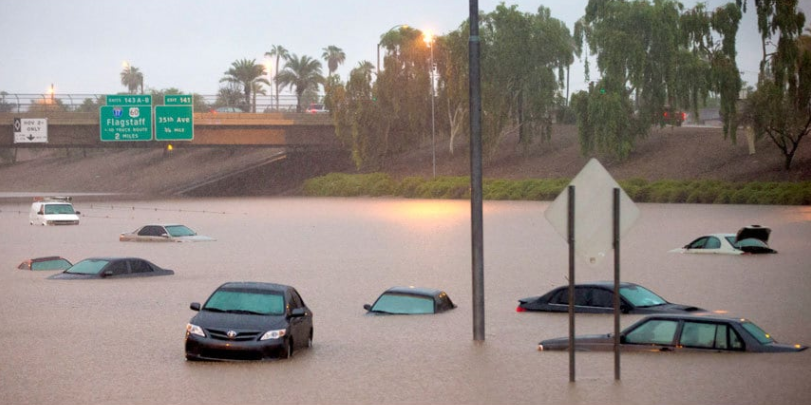
Arizona has a greater amount of area in flood plains than any other non-coastal state, and every year we see communities and families impacted by flooding.
Whether caused by heavy rain, monsoons, or the remnants of tropical storms, the results of flooding can be devastating. While some floods develop over time, flash floods—particularly common in Arizona—can occur within minutes after the onset of a rainstorm. Even mountainous areas are at risk for flash flooding, as higher grounds tend to funnel water down into canyons.
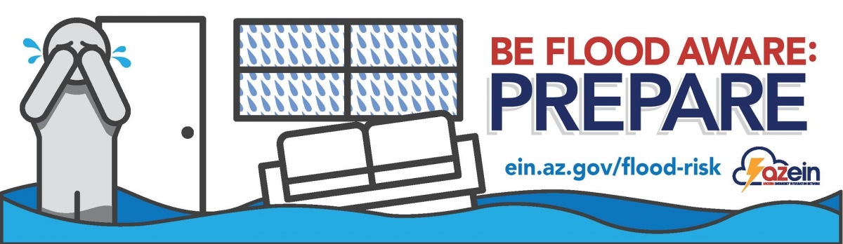
Residents need to protect their homes and assets with flood insurance now—before a weather event occurs and it’s too late. Many Arizona residents may be at an even greater risk of flooding due to the recent wildfires that have burned across the state. Strings of large-scale wildfires have dramatically altered the landscape and ground conditions in the state.
NAR’s Research Team prepared the following flood insurance information sheets for Arizona. The information highlights the importance of the National Flood Insurance Program to the Grand Canyon State.
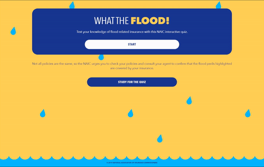
AZ-flood-insurance-report-08072019Flood Insurance Quiz
Measure the cost: Calculate the cost of potential damage in your home based on water levels and home size.
Additional Federal & National Resources
- Repairing Your Flooded Home
- After a Flood: The First Steps
- Homeowner’s Guide to Retrofitting: Six Ways to Protect Your House from Flooding
- About the Flood: Elevating Your Floodprone House
- Protecting Building Utilities From Flood Damage
- National Weather Service
- National Flood Insurance Program
- Post-flood mold
- Post-flood cleanup and remediation
Flood risk data coming to Realtor.com
What are these features?
At an individual property level, realtor.com® will offer insights into Federal Emergency Management Agency (FEMA)-categorized flood zones and a new Flood Factor™ feature, which is the result of a realtor.com® data integration with the First Street Foundation, a nonprofit research and technology group. The First Street Foundation Flood Model includes data for more than 142 million homes and properties across the U.S.
Flood FactorTM includes a flood risk score ranging from 1 (minimal risk) to 10 (extreme risk) and an indication of whether that risk is increasing, decreasing, or constant over the next 30 years.
In addition, a graph shows the cumulative risk of flooding for a property over the typical 30-year period of ownership, along with the FEMA-categorized flood zone for the property, and whether flood insurance is required. Flood insurance options, when available, are provided to realtor.com® users.
Here are some distinguishing features for both:
Flood Factor™
- Provides accurate, property-level flood risk information
- Incorporates current and future environmental changes
- Maps multiple flood zones and risk levels
- Includes more flood sources such as heavy rainfall
- Nationwide coverage and updated quarterly
- Assesses historic flood patterns and projects future risk
FEMA
- Provides detailed, community-wide flood risk information
- Maps the 100-year flood zone and indicates whether a property is “in or out” of this zone
- Does not provide information specific to individual properties
- Based on site specific, engineering studies but limited to two risks (riverine and storm surge)
- Limited geographic coverage and not updated frequently
- Assesses historic flood patterns
- Used by community regulators, banks and lenders
Flood Factor™ data augments FEMA’s maps, so real estate professionals can use both tools on realtor.com® to:
- Help reduce the number of clients who buy high-risk properties by surprise or list properties before mitigating the risk
- Help reduce flood-related surprises at the closing table by helping their buyer and seller clients perform due diligence and increase confidence in real estate markets particularly where FEMA does not currently map
Agents and brokers can use the feature to provide additional context, guidance and insights to their buyer and seller clients with regard to flood conditions and potential flood risk for properties and communities across the country.